
This spring, volunteers visited all 236 of Rhode Island’s CRMC-designated Rights-of-Way. Save The Bay’s volunteers documented signage, litter, obstructions, and parking at these ROWs. Of the 236 Rights-of-Way, volunteers found that 128 do not have CRMC shoreline public access signs, 86 have parking limitations, 38 experience vegetation or structural encroachments, and 33 had litter recorded.
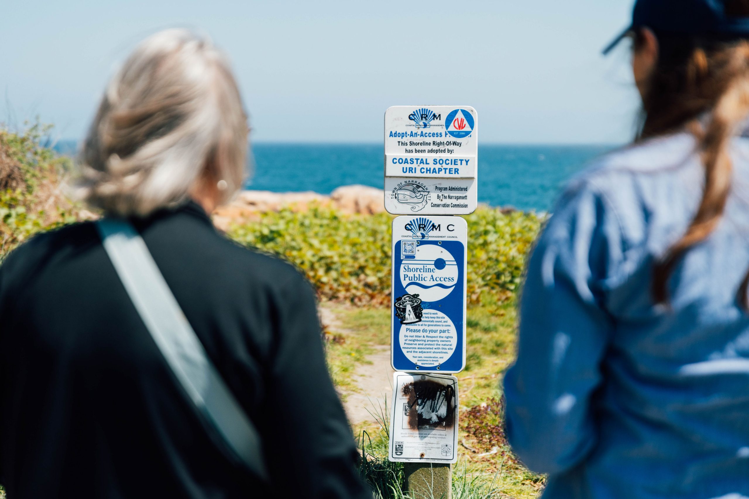
Rhode Island’s Constitution provides the right to fish from the shore, access the sea for recreation, pass along the shore and gather seaweed; privileges of the shore which date back to the 17th century. Perpendicular access points, access to the shoreline from upland areas, enable Rhode Islanders to reach the shoreline and exercise their constitutional right.
Rights-of-Way are public access points to the shore that are designated by the Coastal Resources Management Council. To date, the CRMC has designated 236 Rights-of-Way, enabling all Rhode Islanders to access the shore at access points throughout the state.
Despite Rights-of-Way being designated for public use, many are inaccessible. Public access is constantly threatened by increased demands for coastal development, poorly maintained public access sites, hardening of the shoreline, coastal erosion, and illegal obstruction.
This data collected by over 100 volunteers will help inform Save The Bay’s advocacy plans with coastal municipalities and CRMC to increase public access, guiding how sites are maintained, protected, and improved.
The next 10-day monitoring period will be in October. Visit volunteer.savebay.org/rights-of-way to learn more.